3 min read

By Chase T. Brooke, Former GIS Intern
As you drive around town, do you ever wonder why we call some roads avenues and others drives? Or why some are parkways or lanes?
These designations don’t happen by chance. Many have long-reaching histories going back hundreds of years. The terms listed below are not absolute, but we thought it might be fun to list standard road classifications in College Station with their general definitions:
- A road has no special qualifiers. It connects point A to point B.
- A farm-to-market road (FM) connects rural agricultural areas to a nearby town or market.
- A street connects buildings, usually in a city, usually east to west.
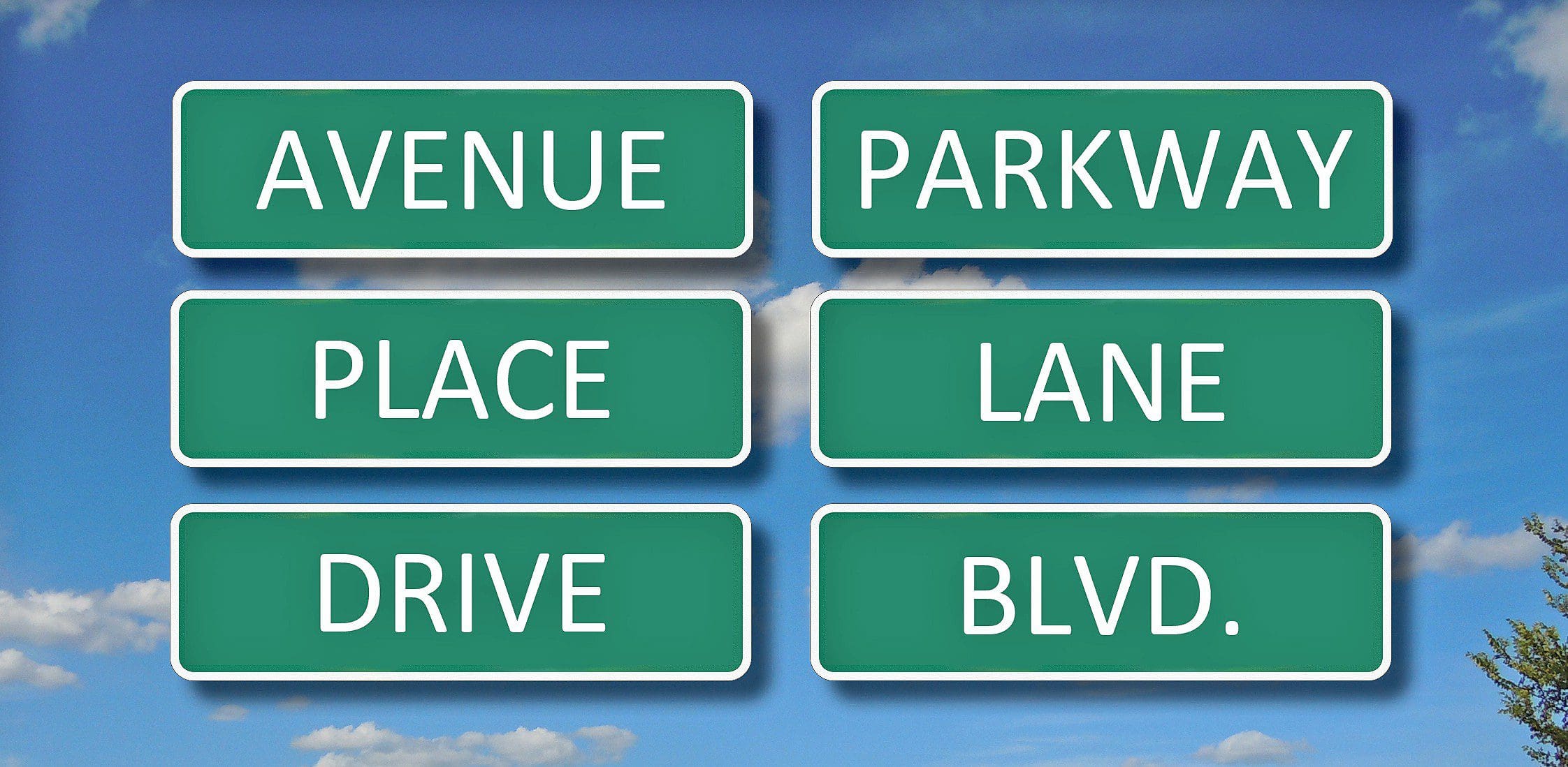
- An avenue runs north and south and usually has a median. Avenues and streets may be used interchangeably for directions.
- A boulevard is a street with trees down the middle or on both sides
- A lane is a narrow street usually lacking a median.
- A drive is generally in a neighborhood and connects several houses.
- A way is a small out-of-the-way road.
- A court usually ends in a cul-de-sac or similar little loop.
- A plaza is usually a wide open space, but in modern definitions, one of the other designations probably fits better as a road.
- A run typically is located near a stream or other small body of water.
- A place is similar to a court. It’s usually a short, narrow dead-end road, with or without cul-de-sac, and is sometimes p shaped.
- A trail is usually in or near a wooded area.
- A highway is a major public road that usually connects multiple cities.
- A parkway is an important public road that’s sometimes part of a highway. In most cases, it’s decorated and has traffic lights.
- A cove is a narrow road ordinarily located near a large body of water or mountains and can be sheltered.
- A row is a street with a continuous line of close houses on one or both sides. In many cases, it serves a particular function such as fraternity or sorority houses.
- A crossing is where two roads meet.
- A point usually dead ends at a hill.
- A square is an open area where multiple streets meet. And yes, it’s commonly square.
- A landing is typically near a dock or port and historically is where boats drop goods.
- A grove may be thickly sheltered by trees.
- A trace usually refers to a beaten path.
- A circle is an open place intersected by multiple roads that often circles around an area but sometimes is like a square.
- A bypass passes around a populated area to divert traffic.
And now you know the rest of the story. I borrowed much of this list from a recent post on Reddit, where you can find a complete list of road designations.

If you found value in this blog post, please share it with your social network and friends!
Leave a Reply